About Laratinga Wetlands

Laratinga (Lartingga-parri) Wetland was named after the Peramangk meaning for Mount Barker Creek, “Flooding Land Creek” (Ivan Copley). The wetland and surrounds, has become an increasingly important area for locals, visitors and native wildlife.
The Laratinga Wetlands, constructed in 1999, is a Mount Barker District Council asset, located in Mount Barker in the beautiful Adelaide Hills of South Australia.
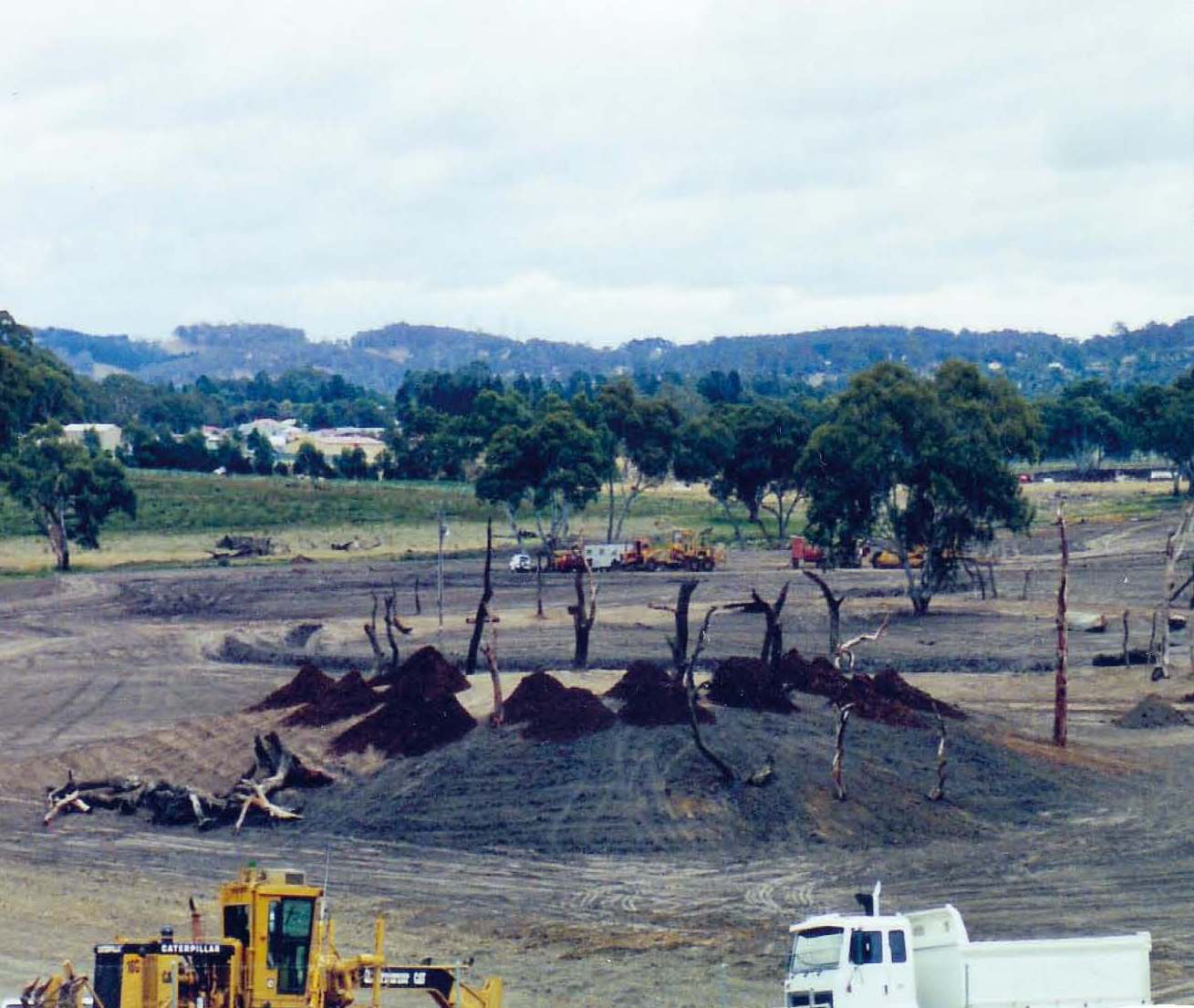
With a growing population, the disposal of treated water became a concern to Council in 1993. For many years the treated water flowed into the Mount Barker Creek and the impact on the ecology of the creek was becoming an issue. Upgrading of the waste water treatment plant began in the late 1990s and included plans to build the large artificial wetland to filter the water further and reuse it for local irrigators, our parks and gardens. Effluent from nearby Nairne is now being pumped to the Mount Barker Community Wastewater treatment plant and through the wetland, bypassing the Nairne oxidation lagoons. This is having obvious benefits on the health of the Nairne Creek.
The wetland has taken several years to resemble a natural ecosystem. Landscaping design with the use of indigenous plant species has encouraged birds to utilise the wetland. Migrating birds utilise the safe island habitats. A food forest for Cockatoos has encouraged Cockatoos including the Yellow Tail Black Cockatoo back to the area.
Construction of Laratinga Wetlands
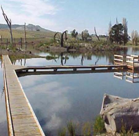
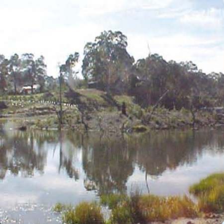
Laratinga Wetlands today


Historically, Laratinga Wetland has been managed as a semi-permanent wetland with water levels fluctuating in response to inflow management, rainfall and irrigation use. The watering allocation and regime to the wetland has changed as of from late 2011. A suitable ecological watering regime has been developed based on the ecological units found as a part of the biodiversity assessment.
While such a change in water regime is beneficial over the longer term, these changes will allow for the system to adapt and develop resilience to a more variable watering regime, mimicking more of a natural system. The result should lead to a healthier biodiversity in the area and better water quality.
Seasonal drying and re-wetting of the mudflats is a desirable feature. The reduced water level over the warmer months aids adaptation and the ecological health of the various species that inhabit and migrate to the wetland. Click here for more on the ecological management of the wetland.
Geology and Soils
Broad flat valley/floodplain with slopes on Northern Side with the Mt Barker Creek meandering along the Southern boundary of the wetland site.
Loam soil: PH ranges from 5-8.
Aspect
South facing slopes running onto southerly floodplains draining from north and south then along river due east.
Climate
The Mount Barker area experiences cool wet winters and hot, mostly dry summers. The mean annual rainfall for the township of Mount Barker in the last 20 years is 718.8mm, with 2010 and 2016 being wet years with annual rainfall reaching 844.3mm and 1128.0mm respectively.
Within the broader Hahndorf IBRA Environmental Association, the mean annual rainfall ranges from 600mm to 1000mm, with a mean annual evaporation of 1800mm.
The mean maximum monthly temperature ranges from 12.9 C in July to 27.2 C in January. The mean minimum monthly temperature ranges from 4.9 C in July to 11.8 C in January and February. Temperatures range between -5.6 C during the winter months to 44.5 C during the summer months.
Videos
Please view the videos below about the Laratinga Wetlands.
More Information
Want to know more about the Laratinga Wetlands? Click on the links below.
> About Laratinga Wetlands
> Wetland Systems
> Ecological Features
> Fauna
> Flora
> Cultural History
> Programs - Environmental and Volunteer
> Visitor Sustainability
> Walking Trails
> News/Events
> Home